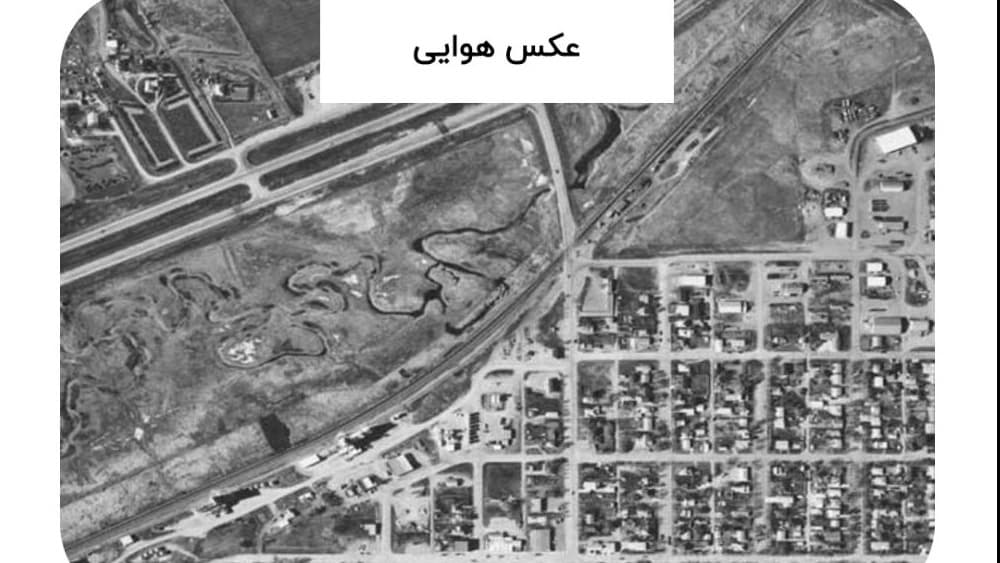
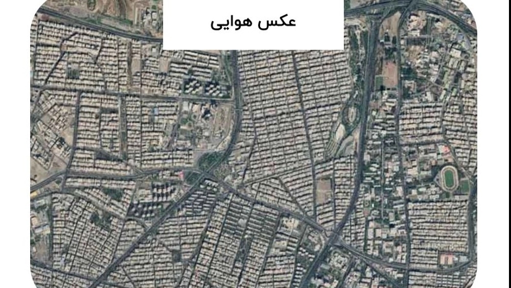
What is the aerial photo?
Aerial photo is a type of photography in which photos of high heights are used It is obtained from aircraft, helicopters, drones or other aerospace. This type of photography is used to capture images of buildings, lands, cities, rural areas, and most importantly for use in environmental and urban studies. You might think to yourself that you can now easily access aerial photos all over the world using router apps like Google Maps. But it is good to know that we have provided a mechanism for your loved ones here at Map Skille, which allows you to access the aerial photo of your property or land in previous decades. But how?
How is the aerial photo produced?
Aerial shooting aircraft:
DEALERS (UAVs):
Remote sensing satellites:
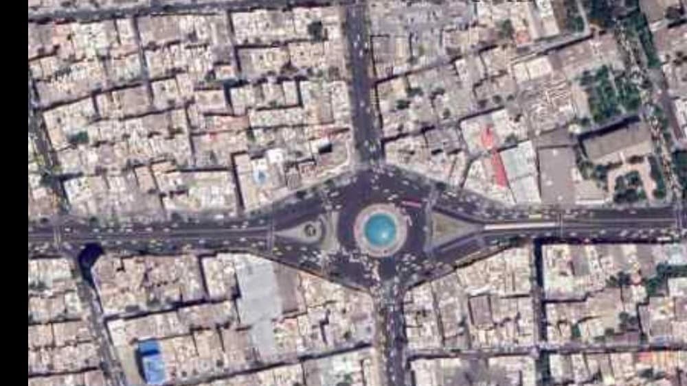
The steps of preparing aerial photo are as follows
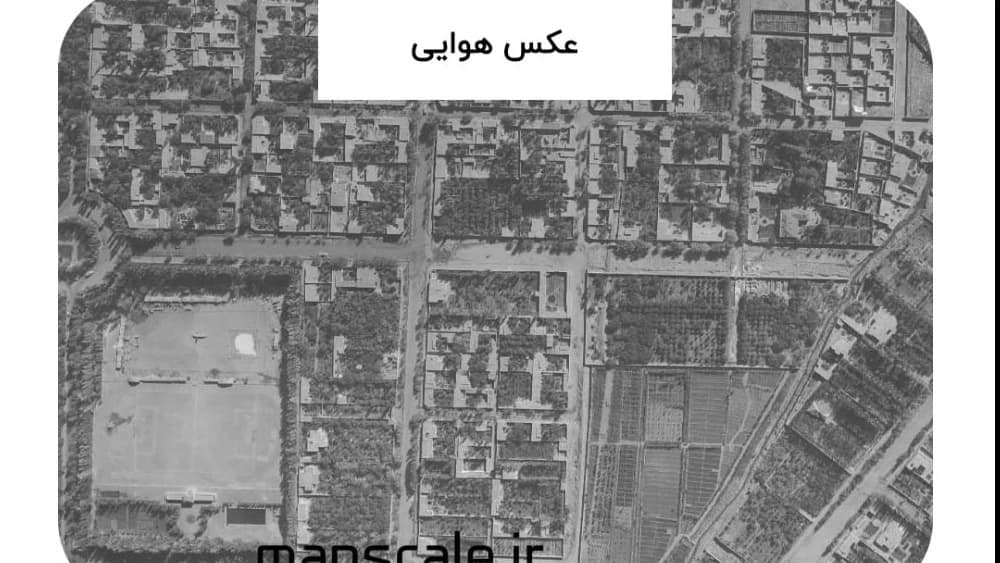
What is the accuracy of aerial photo?
What is the Aerial Photo Scale?
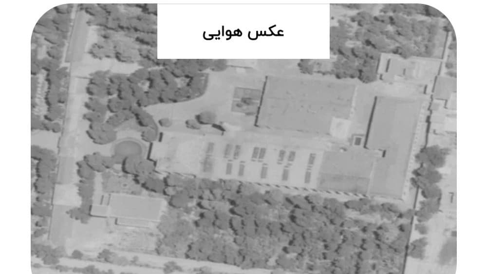
Aerial Photo Application Investigation
Where to make air photos?
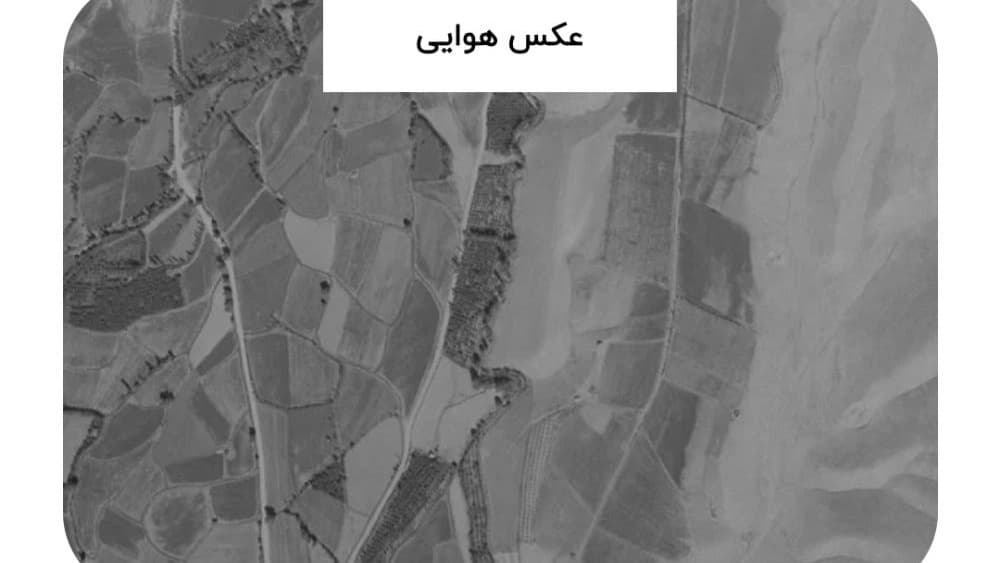
Buy Aerial Photo from Country Geographical Organization
Buy Aerial Photo from Country Mapping Organization
Introducing the most used years of aerial photos
Is the aerial photo valid to submit to the judicial courts?