
Key criteria in choosing the best mapping company in Gilan
To identify and choose the best mapping company in Gilan, there are several criteria that must be carefully considered. The first criterion is to have official licenses, permits to engage in engineering work and approval from relevant organizations such as the construction engineering system and the real estate registry office. The legal validity of a company guarantees the validity of maps and reports presented in administrative and judicial authorities.
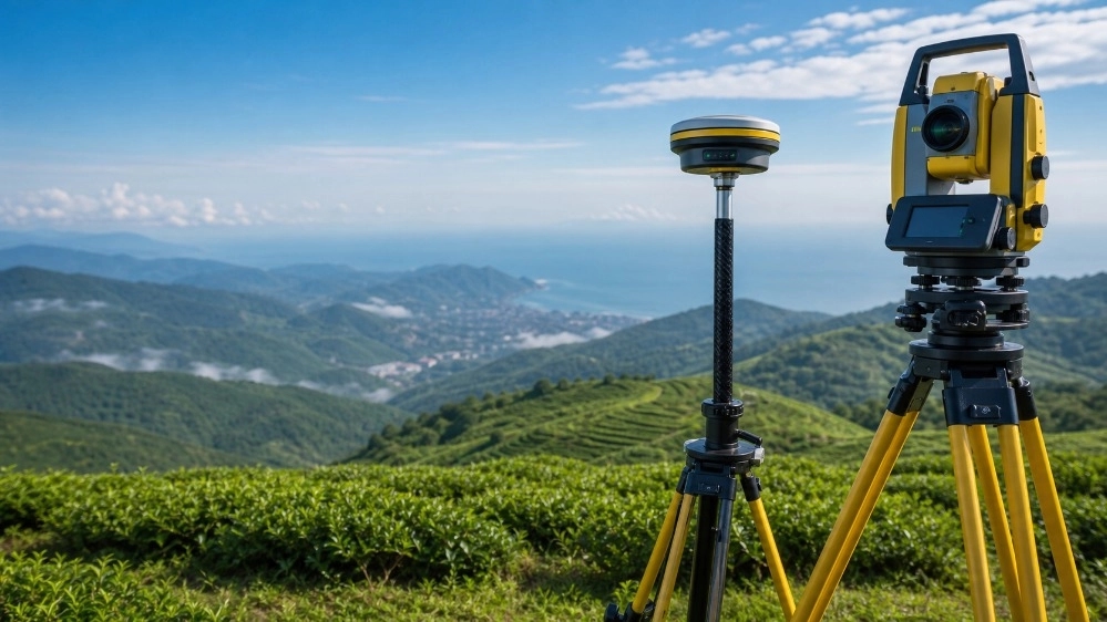
The second criterion is to be equipped with modern tools and technologies. Traditional tools no longer meet today's complex needs. The leading companies in this field use multi-frequency satellite receivers, photogrammetry drones and highly accurate laser total stations. The third criterion is the expertise and experience of the engineering staff. Working experience in Gilan's specific climate and topography conditions helps engineers to choose the most appropriate data collection and processing methods. A collection that includes all these features has the necessary competence to lead large-scale projects.
Introducing the services of the mapping company of the top engineers of the Caspian coordinate finder in Gilan
One of the most prominent and reliable groups active in this field is the Mapping Company of the Top Engineers of the Caspian Coordinate Finder in Gilan. This company has been able to provide various services to its customers by relying on the technical knowledge of experienced engineers and using the most modern mapping equipment. The activities of this collection are generally divided into the following sections:
Preparation of UTM maps and land cadastre
Preparation of UTM map is one of the most basic steps to register real estate and receive a single-sheet document. Caspian Top Engineers Coordinate Finder Mapping Company in Gilan uses station receivers connected to national systems such as Shamim to implement the exact location of properties on global coordinate networks. These maps are accepted as valid and accurate documents in the registry office, municipalities, and agricultural jihad, and prevent any interference in the boundaries of adjacent properties.
Separation, separation and division of lands
Dividing large lands into smaller pieces, whether for the purpose of sale or for inheritance, requires accurate engineering calculations and compliance with urban planning rules and rural guide plans. The engineering team of this complex, with complete mastery of legal laws and technical standards, prepares separation plans in such a way that in addition to optimizing accesses and uses, it creates a high added value for the lands.
Route mapping and linear construction projects
The design and implementation of roads, water transmission channels, pipelines and power transmission networks in Gilan requires accurate topographical information due to its many elevations and specific hydrological conditions. By preparing detailed route maps and longitudinal and transverse profiles, this company provides a suitable platform for design engineers' calculations of earthwork and excavation.
Challenges of topography and vegetation in Gilan
The special climate of Gilan province has always been a serious challenge for surveying engineers. Dense vegetation, dense forests, and tall trees in the foothills create a major barrier to GPS satellite signals. In this case, the traditional methods of extracting coordinates lose their efficiency. To overcome these obstacles, the mapping company of the top engineers of the Caspian coordinate finder in Gilan uses a combination of different technologies. The use of high-range total station cameras in areas where satellite visibility is blocked, along with the use of UAV-based photogrammetry methods, allows engineers to collect accurate terrain data regardless of natural obstacles. This flexibility in the choice of methods shows the distinct difference of this collection as the best mapping company in Gilan.
The importance and necessity of placing the registration plate
One of the most complex services in the legal field of real estate is placing a registration plate. In many cases, there are old documents whose exact geographical location on the earth is not known. This issue causes serious property disputes between the owners. To solve this problem, engineers must find the borders of the mother plate by referring to the archive of old registration maps and then by matching the aerial photographs of the past years and the current state of the land, the exact position of the document should be implemented on the ground. Carrying out this specialized process requires a lot of experience and precision, which is done in the Caspian Coordinate Finder Top Engineers Mapping Company in Gilan completely and using accurate registration maps
Quality assurance and technical standards in projects
Mapping accuracy is literally measured in millimeters. The use of uncalibrated devices or non-compliance with standards for calculating errors in mathematical calculations can invalidate the final results. Our experts in this collection ensure that all maps comply with the standards of the country's mapping organization by implementing multi-stage quality control systems in the stages of field collection and office calculations. Commitment to accuracy, transparency in providing technical reports and responding to employers in the next stages of work are the features that have earned this brand the title of the best mapping company in Gilan.
The role of construction mapping in mass real estate projects
In the field of urban constructions and large residential complexes in Gilan, mapping is used from the first day of excavation to the last day of building facade installation. Accurate implementation of the foundation based on architectural drawings, vertical control of columns, monitoring of deep excavations to prevent the collapse of nearby buildings, and preparation of as-built maps are among the tasks of surveying engineers in construction sites. Failure to pay attention to these issues can lead to heavy fines from the municipality or failure to issue the completion of the building work. Mapping company of the top engineers of the Caspian coordinate finder in Gilan, with continuous presence in construction workshops, guarantees the accuracy of the construction according to the approved plans.
Mapping of coastal lands and sea boundaries
One of the sensitive legal and technical issues in Gilan is the determination of the 60-meter boundary of the sea and the border of newly constructed coastal lands. Changes in the water level of the Caspian Sea over the years have changed the border of the coast. Accurate mapping of these areas is of particular importance to comply with the laws of natural resources and the organization of ports and shipping. With access to historical data and hydrographic and coastal mapping equipment, the specialized team of this collection helps employers to determine the legal boundaries of their lands without the slightest conflict with national lands.
Conclusion and future horizon of engineering services in the north of the country
The progress of development and construction projects in Gilan province always requires high-quality and accurate engineering services. Relying on traditional methods can no longer respond to the speed and high volume of today's projects. Engineering companies active in the province must move in sync with international standards by continuously upgrading their technical knowledge and updating their tools. As a successful model in providing modern engineering services, Yab Khazar Top Engineers Mapping Company in Gilan has been able to take an important step towards systematizing the civil and construction affairs of the province by satisfying small and large employers. Relying on its brilliant history, this group is still known as a reliable reference and the best mapping company in Gilan and continues to provide accurate engineering services to our dear compatriots.
The mapping company of Yaab Khazar top engineers in Gilan guarantees the legal security of your real estate projects by providing accurate registration services, preparation of UTM maps and land separation with the help of experienced engineers.